Kilimandjaro
Kilimanjaro, the highest point in Africa and a summit well above 5,000 meters, Uhuru Peak sunrise 5895m, Kilimanjaro trek review and itinerary.
Standing at exactly 5,895m, it was a summit I simply had to climb. While I’ve done plenty of hiking in the Alps and the US, my previous highest ascent was Dufourspitze at 4,634m in the Monte Rosa massif in Italy.
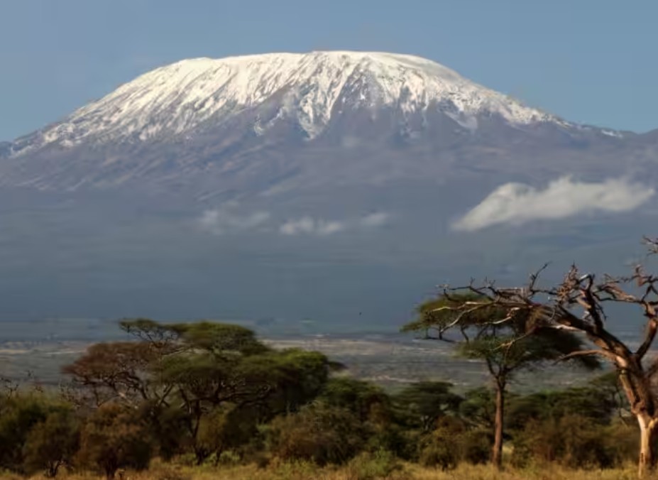
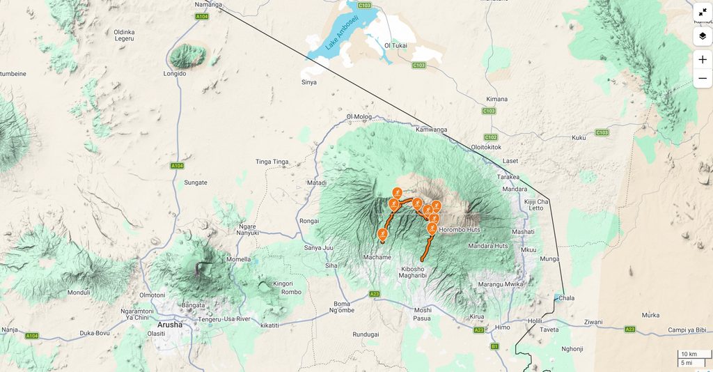
Back in February 2026, Celine, Manu, and I decided to book the trip for early October. We chose the Northern Circuit because it is longer—taking 8 days—which makes it a bit wilder and much less busy than the other routes.
Tanzania Specialist prepared the route and took care of organizing our time in Tanzania. We booked our own flights from Lyon to Kilimanjaro Airport via Istanbul, but the rest of the adventure was handled by the local team.
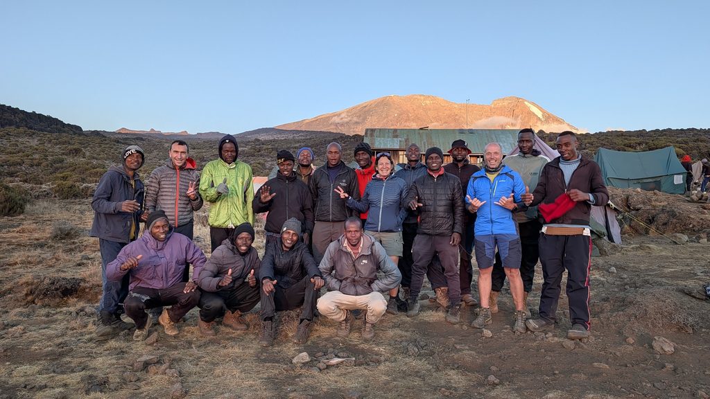
This hike is fully organized and supported; you can’t really do it on your own and are required to go through a licensed operator. For the three of us, our support team consisted of 2 guides (speaking French), 1 chef, and 14 porters. It is remarkably comfortable and entirely different from our self-supported hikes in Europe. The porters dismantle the camp every morning, carry everything to the next site, and have it all set up again by the time you arrive for the night. They are exceptionally fast hikers, easily overtaking us during the day while carrying up to 20kg (often balanced on their heads) on top of their own backpacks. It is undeniably tough work.
The trip
On September 30th, we set off from Lyon airport for a long 19-hour journey. Upon arrival at Kilimanjaro Airport, our driver was waiting to take us to our hotel, Shose Chalet in Moshi. We headed straight to bed for a few hours of sleep, though unfortunately, both Manu and I had caught the flu. I had no appetite and we were both coughing. We could only hope we’d recover in time to climb to the top a week later! The hotel itself is lovely, with banana trees right outside the doors and its own garden and farm animals (cows, rabbits, fish, ducks) that supply the restaurant.
The day before the climb, our itinerary had to be modified because of fires near the original starting point, causing the rangers to close the access. As a result, all hikers were redirected to the Machame gate. Since our original plan was a 7-day trek, this rerouting actually added an extra day to our itinerary, giving us more time to acclimatize and more flexibility for summit day.
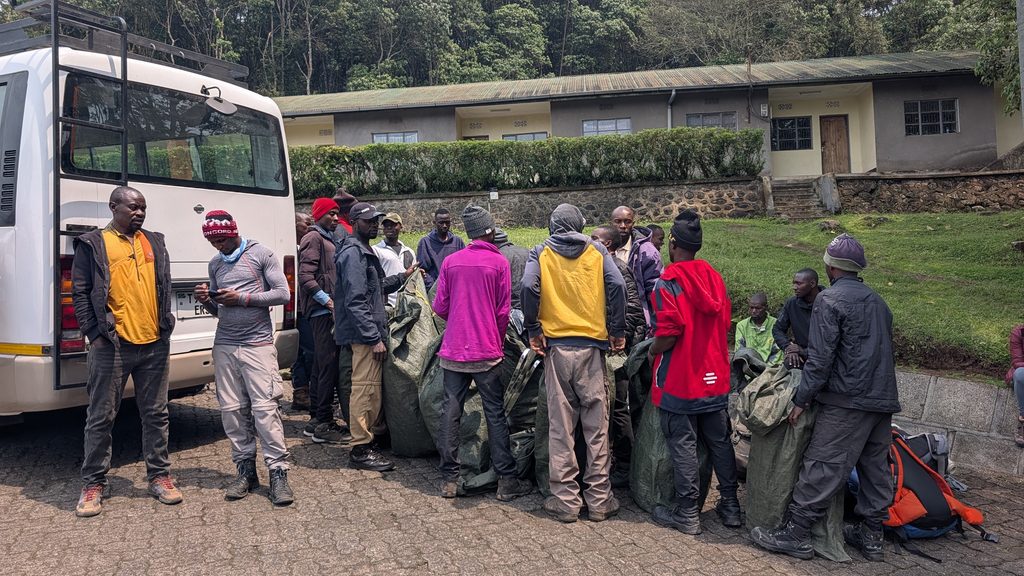
The following morning, our guides and team picked us up directly at the hotel, and we drove in two vans to the Machame gate. It took quite a bit of time at the entrance to organize the 14 porters, sort the equipment, and complete the paperwork and entry tickets with the rangers.
02-Oct Machame Gate (1,800m / 5,905ft) to Machame Camp (2,835m / 9,301ft) / 10.5km & 1,229mD+ in 3:16′
The paperwork took some time, and we finally started our hike at 12:30. We were in the rainforest, and the trail climbed steadily all the way. We kept an eye on the trees hoping to spot some monkeys or other wildlife, but we didn’t see any.
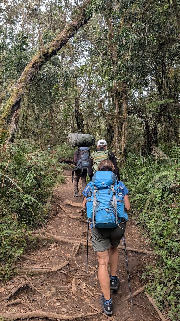
The pace was steady and we arrived at Machame Camp around 3:30 PM. We were at an altitude of nearly 3,000m, still surrounded by trees.
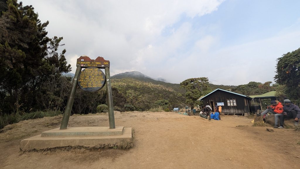
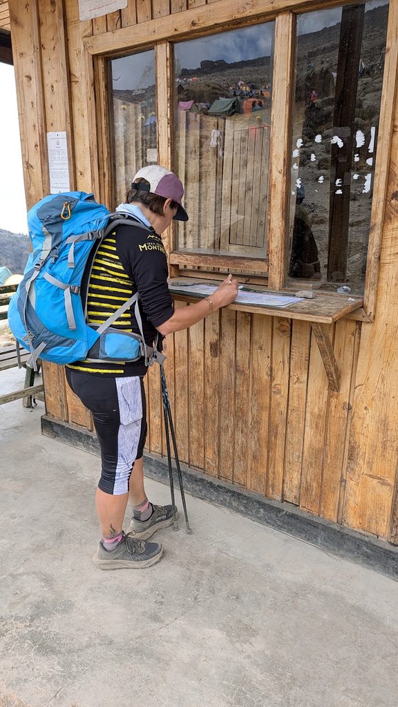
We went straight to the ranger hut to sign the registration book; at each camp, the guides have to handle the official paperwork with the rangers.
When we reached our campsite, the porters were just finishing setting up. We had two 3-person tents (one for our guides and one for myself), a large tent for Celine and Manu complete with a spacious vestibule for our table and chairs, a long tent for the porters, a kitchen tent, and a private portable toilet tent.
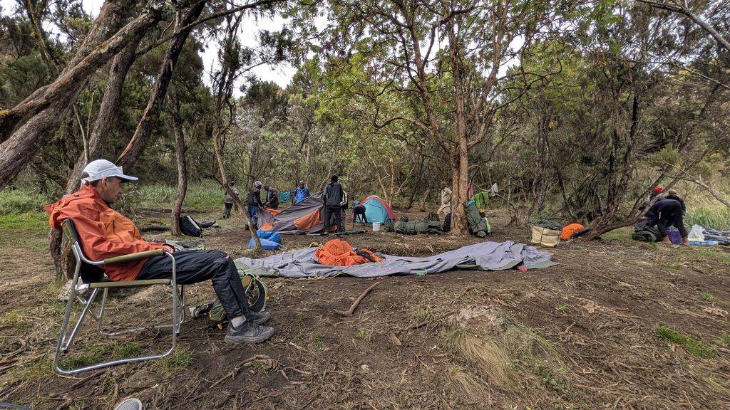
Camp setup
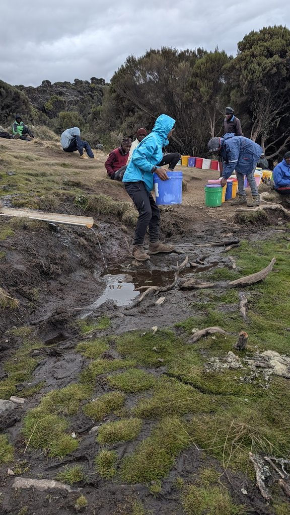
Once camp was set up, the porters headed out with large 25-liter buckets to fetch water. Water is usually close by, but at some camps, it can be a 5km round trip to get it!
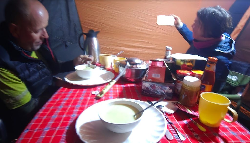
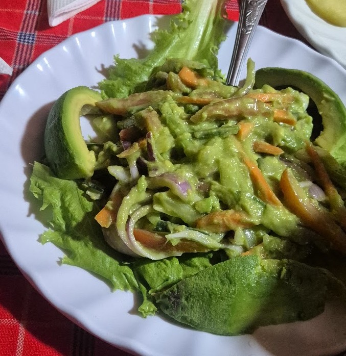
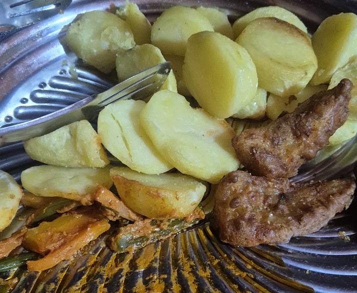
We had warm tea before dinner, which was served around 6:30 PM—starting with soup, followed by salad and a main course of meat and vegetables. We usually enjoyed fresh fruit for dessert. After dinner, we went to bed early to rest up for the days ahead.
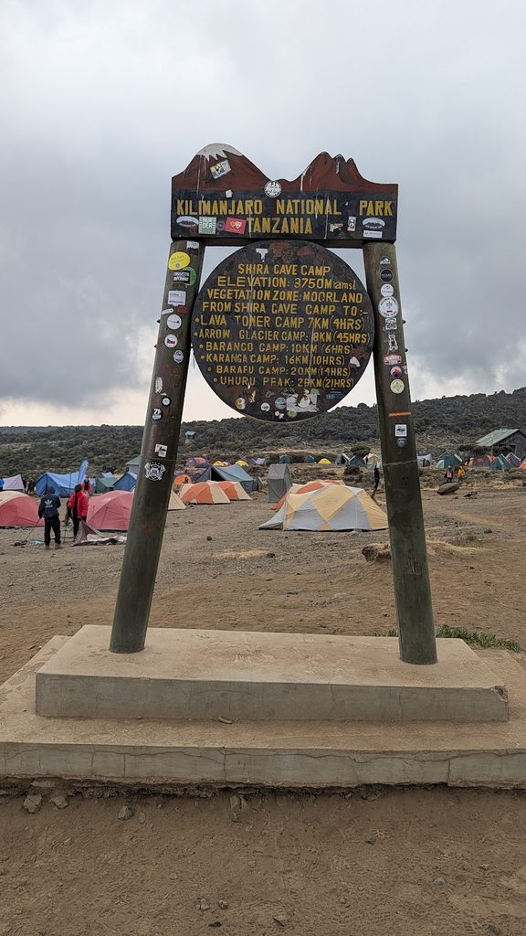
03-Oct Machame Camp (2,835m / 9,301ft) to Shira Camp (3,839m / 12,595ft) / 5.3km & 877mD+ in 3:09′
We started the day with hot tea and a nice breakfast (omelettes, pancakes, and coffee or tea). We didn’t need an early start since the hiking distance for the day wasn’t too long. Our chef also prepared a packed snack with an apple and biscuits for the trail.
We left camp at 8:20 AM for a hike lasting a little over three hours. As we exited the forest, the landscape transitioned into moorland. The second day on the mountain began with another steady climb, slightly steeper than the day before.
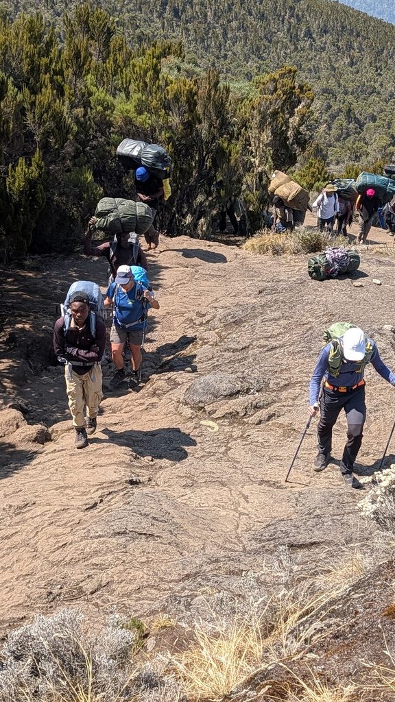
We first reached a small circular cliff known as Picnic Rock, where we were rewarded with stunning views of Kibo (Kilimanjaro’s main summit) and Shira (one of its older volcanic peaks).
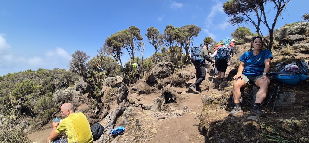
From Picnic Rock, we completed the hike to Shira Camp along a beautiful trail. We had lunch there and spent the afternoon relaxing.
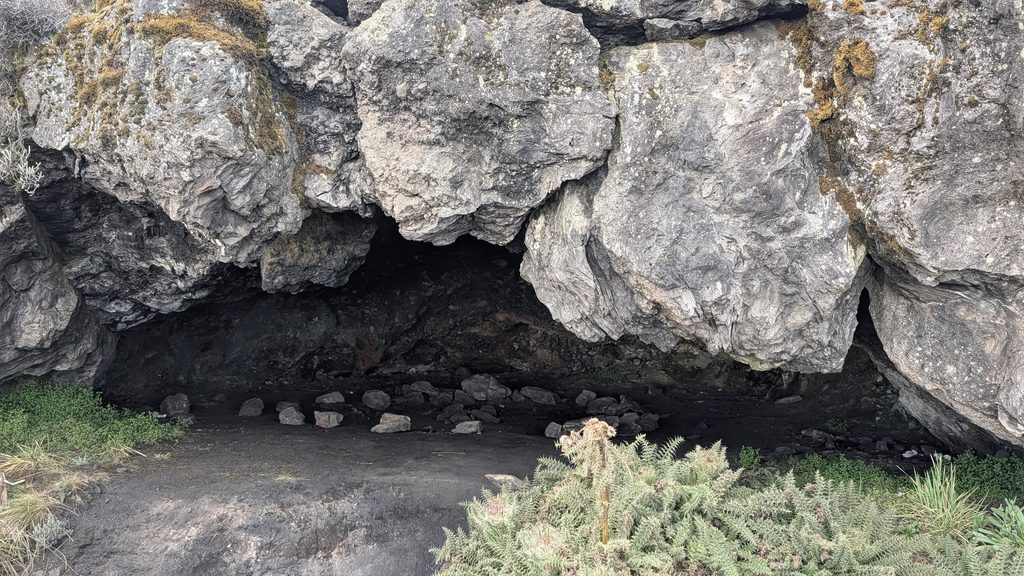
Shira Cave
Later in the afternoon at 4:40 PM, we took a short hike up to Shira Cave—a quick 1km round trip with about 65m of elevation gain to a fantastic viewpoint.
We were well above the clouds, and the views looking down the mountain and across the peak were breathtaking. At 3,800m altitude, we were definitely starting to feel the thinner air.
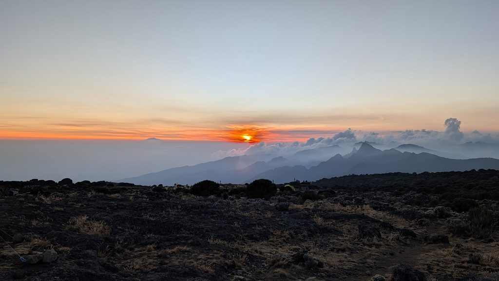
We finished the day with our usual delicious dinner and headed to bed early.
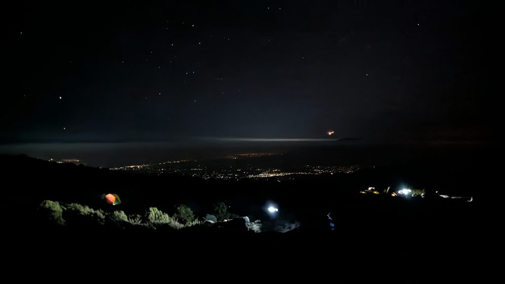
04-Oct Shira Camp (3,839m / 12,595ft) to Barranco Camp (3,950m / 12,959ft) / 10.7km & 841mD+ in 5:19′, via Lava Tower (4,630m / 15,190ft)
We set off on our hike again at 8:20 AM. Today was a key acclimatization day: the plan was to climb up to Lava Tower above 4,600m, have lunch and spend about half an hour there, and then descend to our next camp at 4,000m.
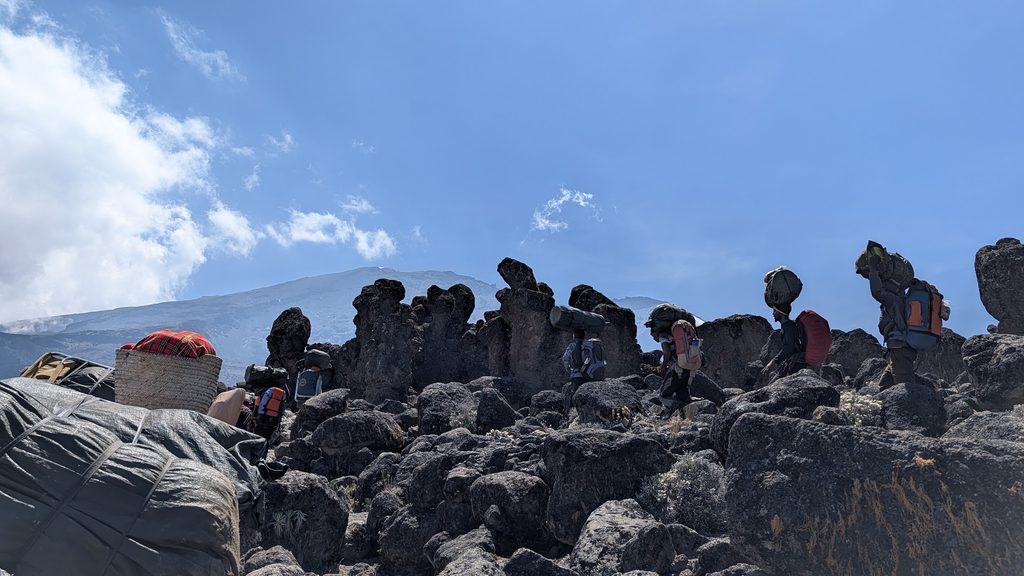
This section of the trail involves a series of ups and downs, offering spectacular views along the way. Since we were still not feeling 100% healthy, we climbed “pole pole”—as the guides constantly advised us, meaning “slowly, slowly.” Finding the right rhythm is essential, as the effects of high altitude can quickly become uncomfortable. Above 4,000m, every step requires significantly more effort, with aerobic capacity dropping by roughly 20–25%.
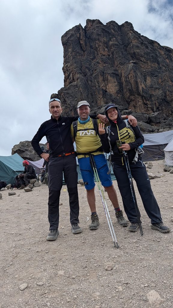
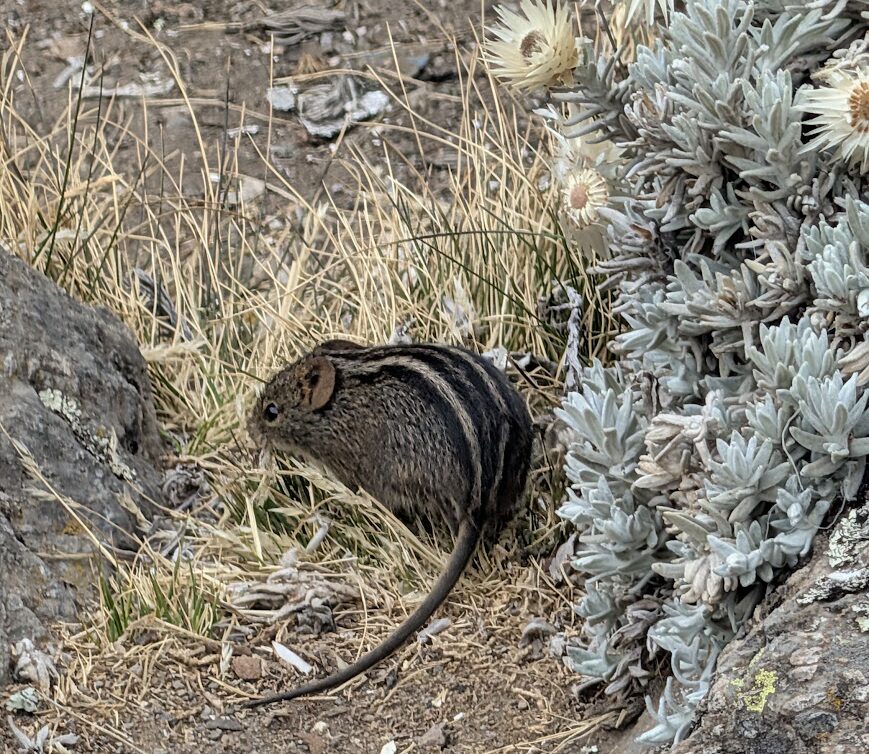
We reached Lava Tower at 4,600m and stopped for a well-earned lunch. There were plenty of striped grass mice darting around the site!
While we enjoyed a packed picnic, some larger groups had full mess tents set up for their meals. Our porters had taken a shortcut, hiking directly to Barranco Camp without having to make the high-altitude climb to 4,600m.
After spending about 30 minutes at the summit of Lava Tower to let our bodies adapt to the altitude, we began our descent to Barranco Camp. Situated right at the foot of the imposing Barranco Wall, the camp offers incredible views of a cliff face that is as intimidating as it is impressive.
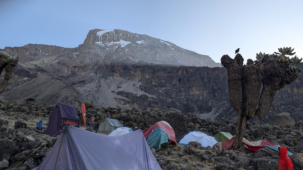
After dinner, we went to bed early. We filled our water bottles with hot water and tucked them inside our sleeping bags—a fantastic trick to help us stay warm throughout the cold night.
05-Oct Barranco Camp (3,950m / 12,959ft) to Karanga Camp (4,040m / 13,254ft) / 5.7km & 527mD+ in 3:23′
The Barranco Wall is narrow and slightly technical. With both hikers and large teams of porters on the trail, traffic jams are common. It requires some scrambling, so people with less strength or a fear of heights can slow down the overall flow. To avoid this, our guide suggested a later start so most of the groups could clear the bottleneck, allowing us to enjoy the climb with far fewer people.
In the morning, the tents were frozen, but the sun was shining bright.
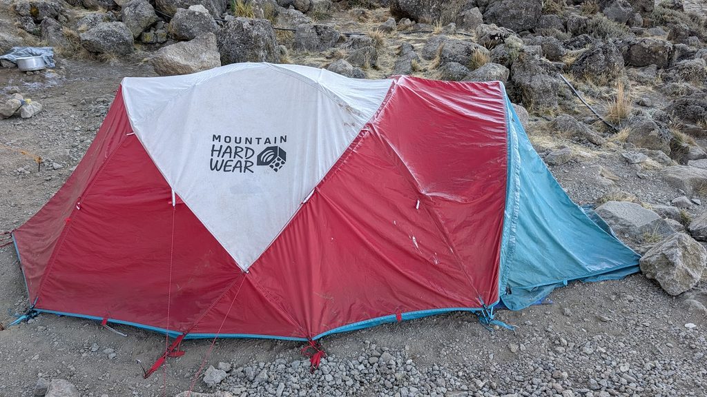
From our camp, we could already see how busy the trail up the wall was, so we took our time and enjoyed breakfast outside in the warm sunshine.
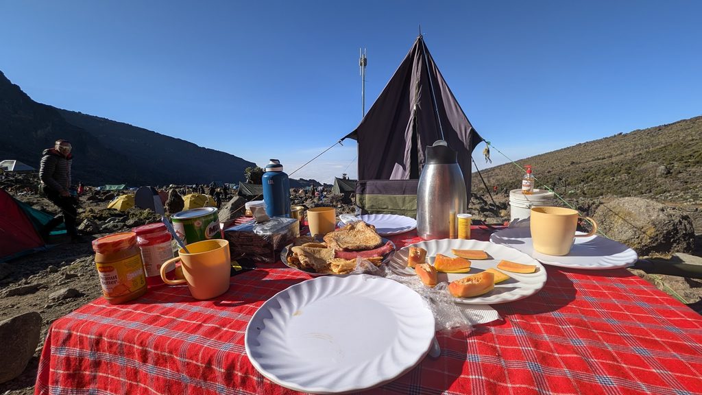
Barranco Wall
We departed Barranco Camp at 9:00 AM. A short path leads down into the valley before you face the wall itself, and looking up at it from the bottom is truly impressive. The trail wasn’t too crowded, though we did get stuck behind a slower group a few times.
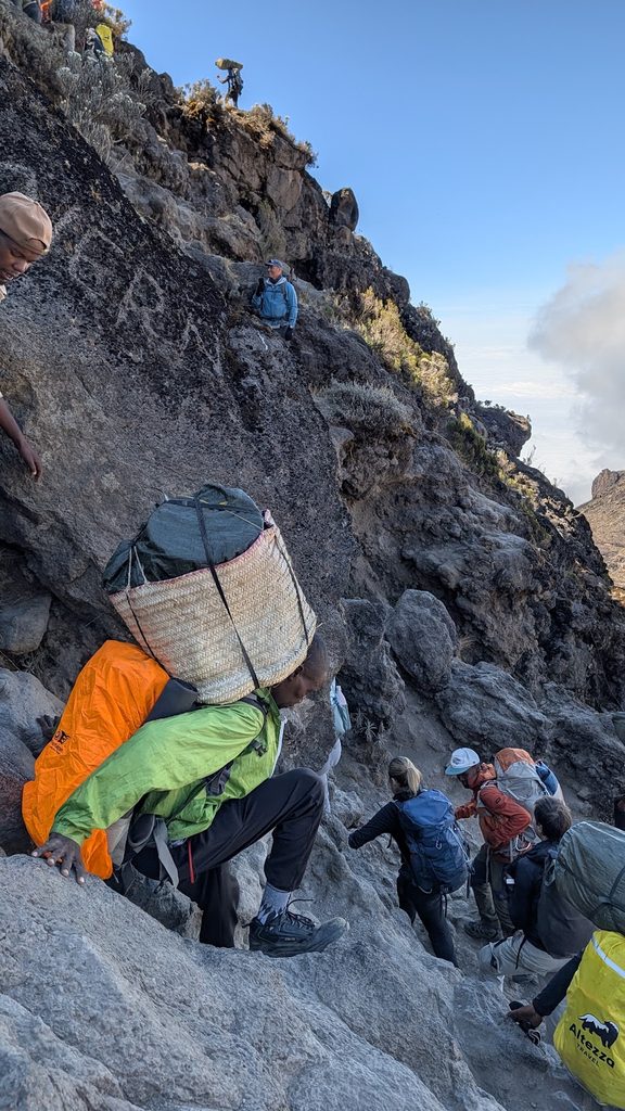
We made sure to step aside and let the porters pass with their massive 20kg loads balanced on their heads.
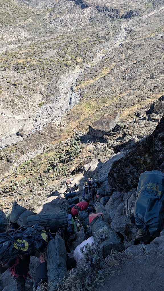
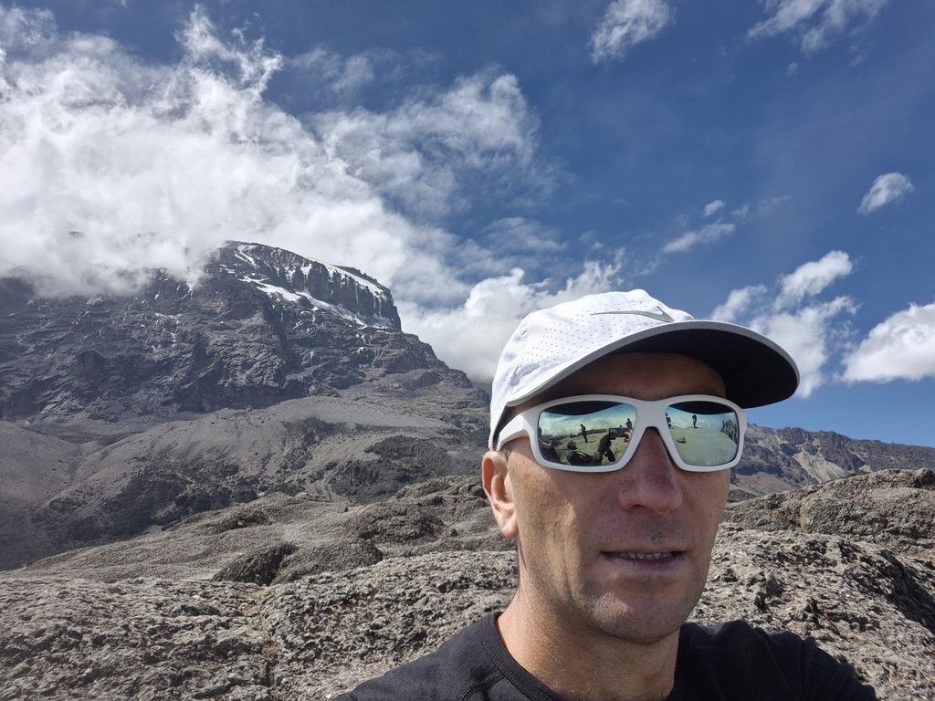
After an hour and a half, we reached the top of the Barranco Wall, where we were rewarded with spectacular views of Kibo Peak and Mount Meru in the distance.
Karanga Valley
The next section of the trek was mostly downhill into the Karanga Valley, followed by one final, steep 700-meter climb up from the river to reach Karanga Camp. With all the ups and downs along this stretch, keeping a steady pace was essential. We arrived in time for lunch at camp and had the entire afternoon to relax and recover.
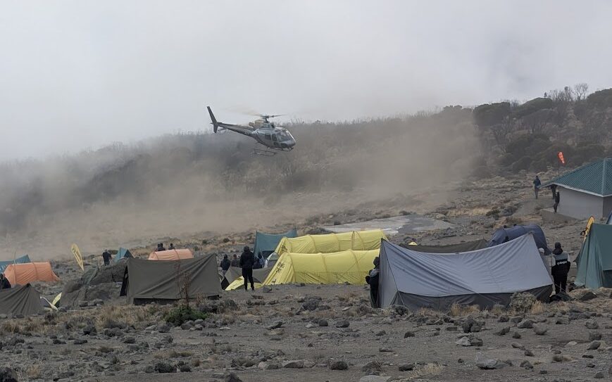
Helicopters frequently arrived to evacuate hikers who were suffering from acute mountain sickness or had sustained an injury during the climb. At over 4,000 meters, breathing becomes genuinely tough—even simple tasks like putting on your socks can leave you feeling out of breath!
06-Oct Karanga Camp (4,040m / 13,254ft) to Barafu Camp (4,645m / 15,239ft) / 3.9km & 595mD+ in 2:38′
The hike to Barafu Camp is short. We enjoyed breakfast outside once again—it was cold, but the sun was shining bright.
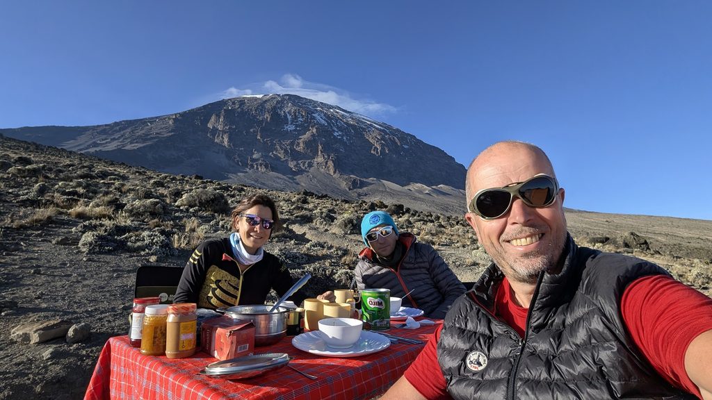
We set off at 8:20 AM and the hike took us just 2 hours and 38 minutes. The path was rocky, with almost no vegetation remaining at this high altitude.
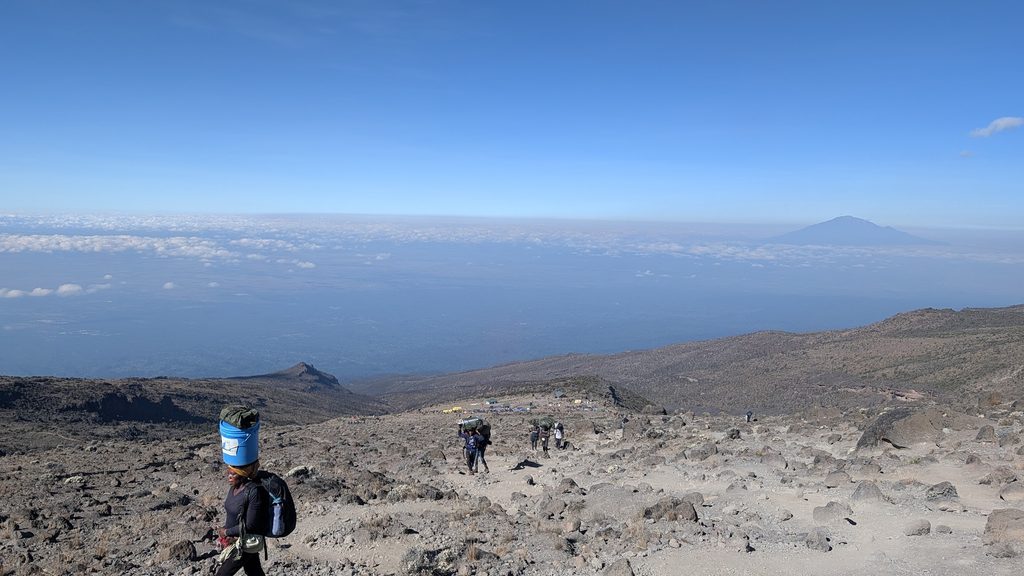
It is a steady climb of 600 meters of elevation gain to reach Barafu Camp at 4,645m. We arrived well before lunch and enjoyed another great meal prepared by our chef, Rahim. After lunch, we spent the afternoon resting and relaxing in our tents.
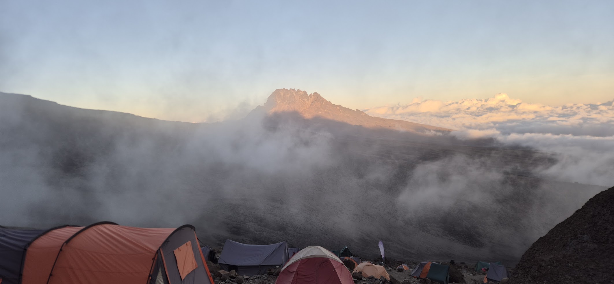
We had an early dinner and went to bed by 6:00 PM. We will be waking up at 11:00 PM to start our summit push at midnight…
07-Oct Barafu Camp (4,645m / 15,239ft) to Uhuru Peak (5,985m / 19,340ft) and back to Barafu Camp (4,645m / 15,239ft)/ 10.8km & 1,343mD+ in 2:38′
The big day! We woke up at around 11:00 PM, had a quick bite to eat, and by midnight sharp, we were ready to begin our ascent to the top of Kilimanjaro. We were accompanied by our two guides, Benedict and Elias. It was freezing cold, so we put on all our layers. It was pitch black outside, but our headlamps were fully charged and ready.
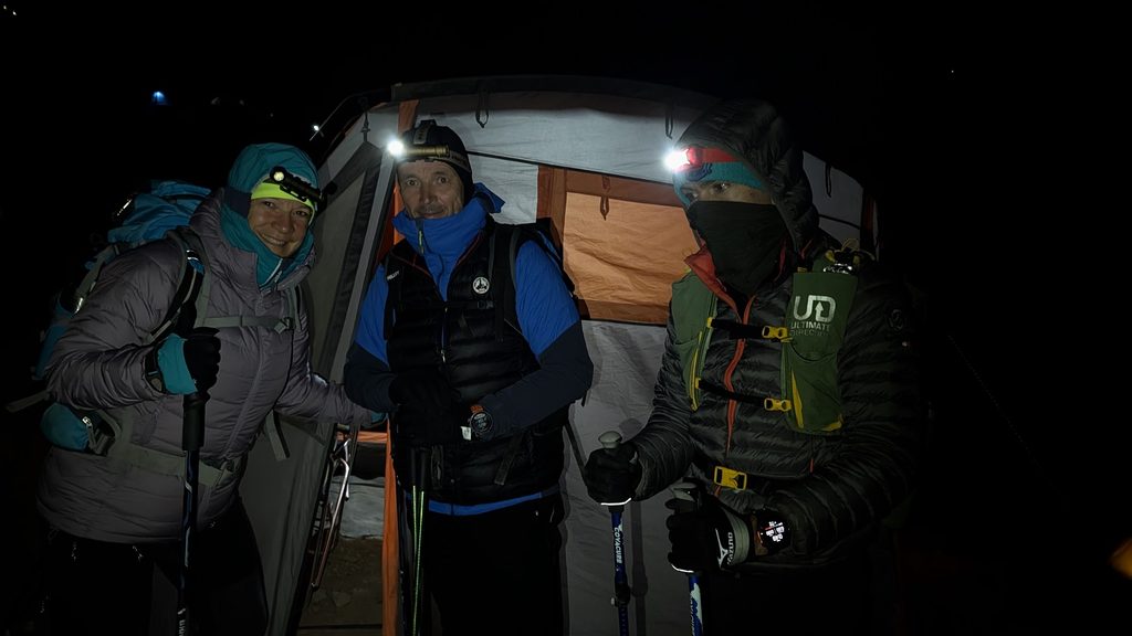
Looking up, we could see lines of headlamps from other groups ahead of us. Over the next three hours, we climbed steadily and passed a few teams.
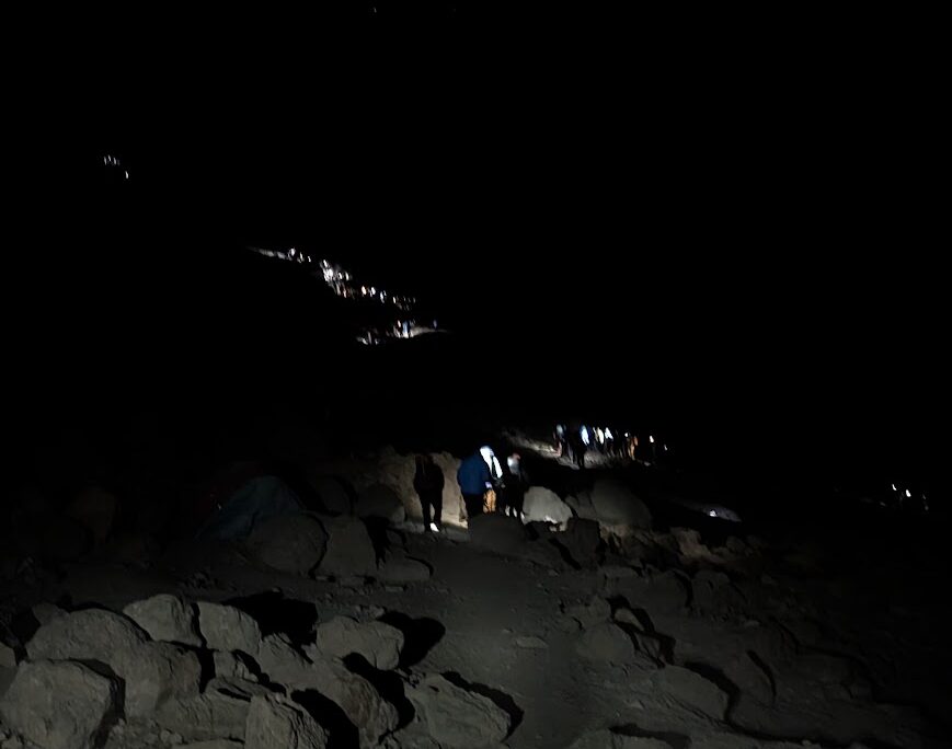
We saw several hikers struggling with the altitude—some being sick from the effort, others having to sit down to recover. After three hours, we stopped for a short break, but my fingers were so numb from the cold that I couldn’t even open my bag. Elias had to help me take off my backpack, switch my gloves, and fold my trekking poles since I could no longer grip them. (Even several weeks after the climb, the tips of my fingers haven’t fully recovered!) Celine was also struggling with the altitude, but we kept pushing forward “pole pole”. Despite the tough conditions, we maintained a solid pace and continued to overtake other groups.
The summit
Gradually, the night sky began to brighten, transitioning from deep dark blue to glowing pink hues. We reached Stella Point, where the incline finally eases up.
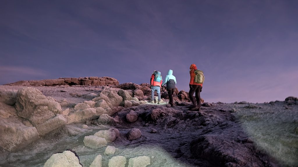
From there, we were treated to stunning views of the high glaciers and could catch our first glimpse of the iconic wooden sign at the summit. We reached Uhuru Peak—the highest point in Africa—just before sunrise, bathed in a superb pink sky. There were roughly 20 people at the summit, and we took the classic photos in front of the sign.
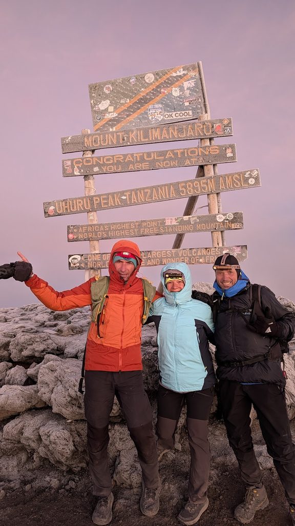
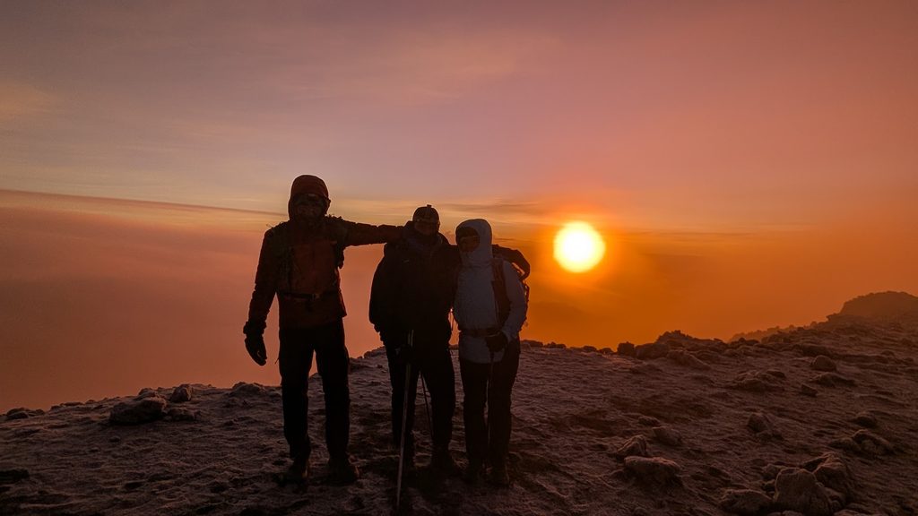
We even recorded a great video of our final steps along the rim. We had made it to the top of Kilimanjaro 5,895m!
Because of the biting cold and wind, we didn’t stay long before starting our descent.
The descent
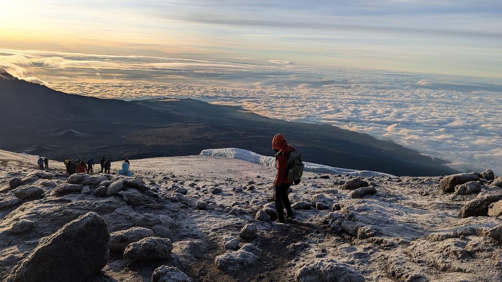
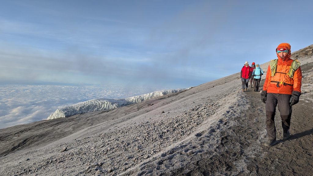
On the way down, we paused to eat something and enjoy some fresh fruit juice.
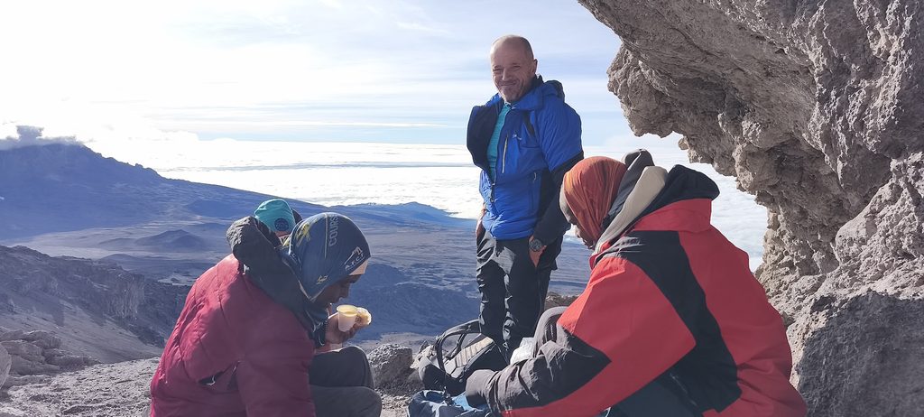
Thanks to the scree, it took us just 2 hours and 30 minutes to slide and hike back down to Barafu Camp.
When we arrived, the entire porter team welcomed us back and celebrated our summit with traditional Tanzanian songs. It was a wonderful, deeply moving gesture from the team.
07-Oct Barafu Camp (4,645m / 15,239ft) to Millenium or High Camp (3,820m / 12,532ft) / 4.2km & 833mD- in 2:38′
After lunch and a quick rest, we continued our descent to High Camp, setting off for our afternoon hike at 12:00 PM.
During this short 1 hour and 25 minute stretch, we kept heading down the mountain. All along the path, we noticed several wheeled mountain rescue stretchers. When hikers get injured or suffer from severe altitude sickness, these stretchers allow the guides and porters to evacuate them down the trail as quickly as possible.
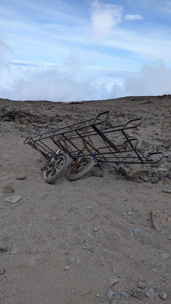
We arrived at camp early, giving us the whole afternoon to relax. We were exhausted after a massive 10 hours of hiking, but thrilled that all three of us had successfully reached the summit.
The campsite was extremely windy, and Celine and Manu’s tent ended up completely covered in sand by the end of the night!
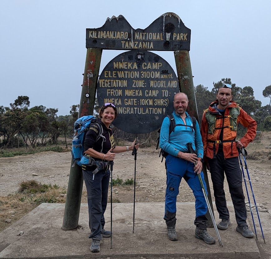
08-Oct Millenium or High Camp (3,820m / 12,532ft) to Mweka Camp (3,100m / 10,170ft) / 3.4km & 720mD- in 2:38′
With the wind and dust everywhere, none of us slept very well.
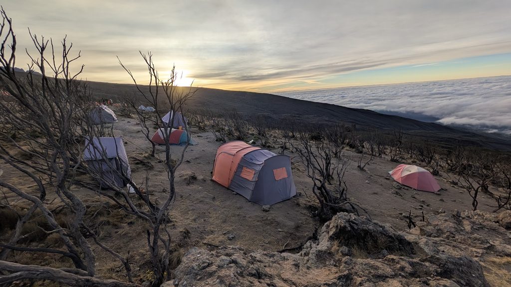
We had breakfast outside since the inside of our tents was covered in a layer of fine dust. My appetite was finally starting to return, so I really enjoyed the crêpes and omelette.
We started our hike at 8:10 AM, and it took us just 1 hour and 25 minutes to descend to Mweka Camp, dropping another 700 meters in elevation. The trail wound through low trees, and we began to see vibrant flowers blooming along the path.
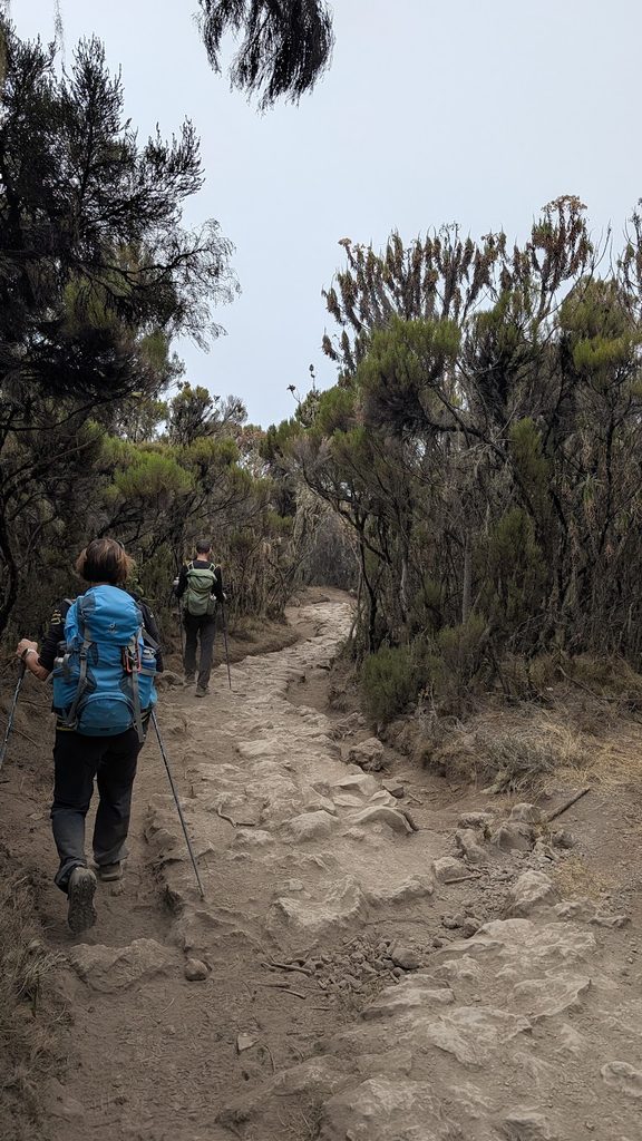
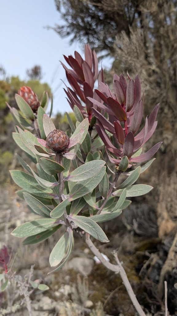
We had lunch at camp and spent the rest of the day playing games inside the tent to stay warm and dry, as it was raining outside.
After dinner, we crawled into our sleeping bags for one last night on the mountain.
09-Oct Mweka Camp (3,100m / 10,170ft) to Mweka Gate (1,640m / 5,380ft) / 8.7km & 1412mD- in 2:56′
Millennium Camp is located in a tropical rainforest. When we woke up today, we felt so much better thanks to the lower altitude.
During the night around 1:00 AM, we heard noises and saw several headlamps turning on. Almost the entire camp woke up, though the commotion only lasted a few minutes. The next morning, our guide told us that someone had spotted a cheetah near the toilets!
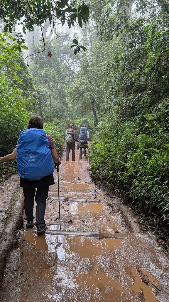
After an early breakfast, we started our final hike to Mweka Gate, the exit of Kilimanjaro National Park. It was 6:42 AM when we began our descent, and the trail was still dry. However, it soon started to rain. The path quickly turned muddy and slippery. The porters were constantly overtaking us, and we saw a few of them toss their bags aside to avoid taking a bad fall. Surprisingly, some were still able to hike incredibly fast, even while wearing old Converse sneakers with no grip!
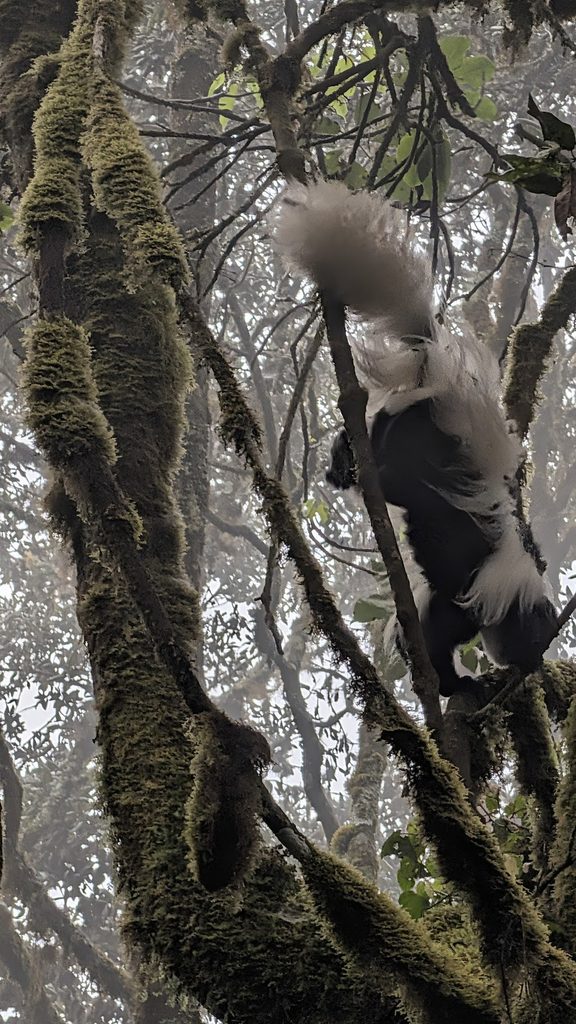
Along the trail, we spotted monkeys and many species of birds, thoroughly enjoying the thicker air at lower altitude.
Conclusion
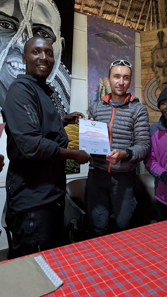
At the end of the trek, we received our official climbing certificates from the rangers and enjoyed a final lunch prepared by our chef. We had a wonderful time celebrating with the porters, who sang traditional songs with us once again.
Afterward, we drove to our hotel in Arusha for our last night in Tanzania—and enjoyed our first proper shower in a week!
As they say in Swahili: “Kwaheri Tanzania, tutaonana tena!” (Goodbye Tanzania, see you again!)